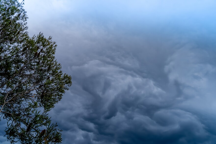
I love winter. The arresting sound of stillness in a landscape silenced by snow. The satisfying crackle of an iced-over puddle breaking beneath a boot. The invigorating tingle of a nose nipped by the cold. When I moved to Montana from California’s warm, Mediterranean climate, I was thrilled at the thought of a snow-filled Montana winter. And as luck would have it, soon after I arrived reports began circulating on the likelihood that this would be a “La Niña” year, La Niña being a weather pattern that brings exceptionally cold and snowy conditions to Western Montana.
A La Niña event typically lasts from 9 to 12 months, and occurs roughly once every three to five years, often following its counterpart, El Niño. Both events influence weather throughout North America and beyond, though these changes manifest in different ways throughout various regions. In the American Southwest, for example, La Niña brings warmer, drier winter conditions – just the opposite of what is expected to occur here in Western Montana. But what specific events trigger this dramatic shift?
Believe it or not, Montana owes its cold and snow-filled La Niña weather to an upwelling of cold ocean water occurring thousands of miles away in the Eastern Tropical Pacific. This upwelling is the result of strong eastern trade winds blowing warm surface water away from the coast of South America. The winds churn cold, deep seawater up to the surface, lowering ocean temperatures.
These colder-than-average ocean temperatures in turn impact the polar jet stream. A narrow, rushing river of cold air flowing 5 to 9 miles high in the atmosphere, the polar jet stream is responsible for shaping weather in the Northern Hemisphere. Whooshing high overhead, in winter months this strong current of air may reach speeds greater than 275 miles per hour. During a La Niña event, this mid-latitude, eastward blowing jet stream maintains a northerly route, funneling colder temperatures and increased precipitation to Western Montana.
While this may be good news for Montanans eager to strap on their skis or snowshoes this winter, La Niña is no cause for celebration in lands farther afield. Though the Northern Rockies may be inundated with cold, moist air, the jet stream’s altered route essentially bypasses other parts of the country, resulting in warmer, drier conditions farther south. Many scientists fear that the stress of prolonged heat and drought will exacerbate already worrisome levels of aridity in these southern regions. This is particularly true for fire-ravaged California, which in 2020 experienced its most devastating wildfire season in modern history. The dangerously dry conditions that persist throughout the American West have been attributed by scientists to human-caused climate change.
In recent decades, researchers have observed a weakening of the jet stream, which has been linked to warming Arctic temperatures caused by excess greenhouse gases in the atmosphere. Because the jet stream is strongest when warm and cold masses of air converge, warmer temperatures in the Arctic produce a weaker channel. This weakened jet stream forms a serpentine path as it slithers across the North American continent, undulating in a wave that ripples between north and south. Extended high-pressure systems, or “blocking events,” associated with increased undulation are known to result in extreme weather, such as record heat, drought, cold, or flooding.
Understanding the link between arctic warming, jet stream slowdown, and resulting weather patterns is increasingly important as humans grapple with the reality of life in a changing climate. And for those of us living in Western Montana, perhaps it will inspire us to appreciate this year’s wet and wild winter all the more.
Today’s Field Note was written in the Environmental Writing class at the University of Montana. I’m Lia Mendez for Field Notes, brought to you by the Montana Natural History Center, providing natural history education for schools and the public throughout Montana. For information on upcoming events and programs at the Center, call 406.327.0405 or visit our website at MontanaNaturalist.org.


